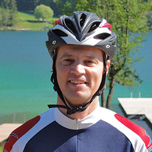
The most beautiful bike tours
All listed routes were tested by your host personally and evaluated. It is just a sample of the tour collection. For each tour there is a detailed description with range, map, elevation, GPS data..., and so on. About 25 tours are included in this collection..
» Mountainbike- und Rennradtourensammlung from Andreas
Examples
Seebergsattel-Tour: 83 km, 1.490 Hm. (Racing cycle tour)
On the tour you will reach near Jezersko (Slovenia) a small lake with a guest house, which invites you to take a break. You can where the relax and enjoy great views of the Steiner Alps.
Ferlach-Tour: 83 km, 1.350 Hm. (Racing cycle tour)
Beautiful views of the Koschutnikturm of the Karawanken mountains.
St. Paul-Tour: 85 km, 969 Hm. (Racing cycle tour)
Beautiful road round trip through the Eastern Southern Carinthia with a small detour to the Lavantal.
Stausee-Nordufertour: 21 km, 150 Hm. (Trekking - MTB Tour)
Light trekking bike or mountain bike tour along the Drau cycle path and over the two bridges of the reservoir.
Sagerbergtour: 38 km, 540 Hm. (Trekking - MTB Tour)
Medium round trip with a one-time increase of 4 km length. Refreshments/meals at the Berggasthof Benetek..
Luschaalmtour: 56 km, 955 Hm. (MTB Tour)
Great round trip to rise approximately 9 km long with 700 altitude on the Luschaalm.
Wackendorferalmtour: 54 km, 1.190 Hm. (MTB Tour)
The 12 km long climb is great to drive. There are two water sources where you can refill the water bottle. The alp is managed and you can enjoy a snack.
Panormatour: 90 km, 2.160 Hm. (MTB Tour)
Most beautiful but also most difficult mountainbike tour in the region. Get over the Luschaalm to Slovenia and then over the pavličevo sedlo back. Again great views of the Steiner Alps and the Logar Valley.
Klopeiner See - TourGuide
Should there be no suitable tour for you in our tour examples, then you can choose your own tour with the help of the tour guide. Information such as length, degree of difficulty, height meters... the tour guide provides the ideal tour for you. You can download the GPS data or you can print the map.


